
A New Way to See the Zoo:How Nexus Brings Every Pipe, Path, and Pavilion into Focus Every zoo is a tapestry of pathways, exhibits, and...

Helping clients plan and manage their utility infrastructure through strategic guidance, lifecycle asset planning, and repair prioritization based on condition scoring. We also ensure their data is clean and reliable through expert migration and GIS health checks.

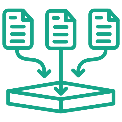
Manage assets from creation through retirement with full lifecycle tracking. Seamlessly link each asset to associated projects, networks, and clients, and leverage geospatial mapping to create clear, intuitive visualizations.

With AI built directly into the core of geoAMS, interacting with the system and getting support is effortless and simply use natural language to access insights, guidance, and assistance in real time.
Ensure confidence in your data and workflows with built-in assurance and testing tools. Validate asset integrity, verify system performance, and maintain accuracy across your projects through streamlined quality control processes designed to catch issues before they impact results.

Gain clarity and control over your financial operations with integrated planning tools. Forecast costs, track budgets, and align financial performance with your assets, projects, and clients; empowering smarter decisions and long-term savings.
Plan, track, and execute projects with a geospatial perspective at the core. Manage assets in real-world context, visualize progress on interactive maps, and coordinate teams and resources with precision; ensuring every project stays aligned, efficient, and fully connected to your asset network.
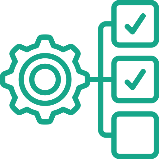
Streamline operations with customizable automated workflows built in just a few clicks. Enable dynamic team collaboration, reduce manual effort, and ensure processes run consistently and efficiently; keeping your projects and assets moving forward without friction.
Built to grow with your organization, the platform scales effortlessly as your data, assets, and operations expand. Whether managing a single project or an enterprise-wide portfolio, maintain performance, flexibility, and control every step of the way.

Transform raw data into clear, actionable insights with powerful visualization tools. Crowdsource real-time data from users in the field and instantly bring it to life through Lumen HeatMaps; highlighting patterns, trends, and areas of interest with intuitive, dynamic mapping that supports faster, smarter decision-making.

Collect and process field data to support a wide range of planning needs—including engineering, environmental, and architectural applications, as well as compliance with state, federal, and local government requirements.

Streamline the tracking, maintenance, and analysis of infrastructure by turning accurate field information into actionable insights—improving reliability, optimizing performance, and supporting informed decision-making across your entire asset network.

geoAMS is proudly offered free of charge nationwide to non-profit zoos and wildlife centers, supporting organizations dedicated to conservation, education, and animal care. By removing financial barriers, geoAMS empowers these institutions with advanced tools for asset management, infrastructure tracking, and geospatial visualization; helping them operate more efficiently, maintain critical facilities, and focus resources where they matter most: protecting wildlife and enhancing visitor experiences.


Lorem ipsum dolor sit amet, consectetur adipiscing elit. Curabitur laoreet cursus volutpat. Aliquam sit amet ligula et justo tincidunt laoreet non vitae lorem. Aliquam porttitor tellus enim, eget commodo augue porta ut. Maecenas lobortis ligula vel tellus sagittis ullamcorperv vestibulum pellentesque cursutu.

Lorem ipsum dolor sit amet, consectetur adipiscing elit. Curabitur laoreet cursus volutpat. Aliquam sit amet ligula et justo tincidunt laoreet non vitae lorem. Aliquam porttitor tellus enim, eget commodo augue porta ut. Maecenas lobortis ligula vel tellus sagittis ullamcorperv vestibulum pellentesque cursutu.

Lorem ipsum dolor sit amet, consectetur adipiscing elit. Curabitur laoreet cursus volutpat. Aliquam sit amet ligula et justo tincidunt laoreet non vitae lorem. Aliquam porttitor tellus enim, eget commodo augue porta ut. Maecenas lobortis ligula vel tellus sagittis ullamcorperv vestibulum pellentesque cursutu.

Lorem ipsum dolor sit amet, consectetur adipiscing elit. Curabitur laoreet cursus volutpat. Aliquam sit amet ligula et justo tincidunt laoreet non vitae lorem. Aliquam porttitor tellus enim, eget commodo augue porta ut. Maecenas lobortis ligula vel tellus sagittis ullamcorperv vestibulum pellentesque cursutu.


A New Way to See the Zoo:How Nexus Brings Every Pipe, Path, and Pavilion into Focus Every zoo is a tapestry of pathways, exhibits, and...

Mapping the Unseen: Transforming Utility Management with geoAMS Beneath the surface of every thriving city lies an unseen network of veins and arteries—water, sewer, gas,...